Lefkimmi -
We followed this walk out of a book by Hilary Paipetti -
It is an easy, flat, circular walk and took about two hours.
The walk starts in Lefkimmi at the bridge over the river where there are several riverside tavernas. You can easily park down the road beside the river where the walk starts from.
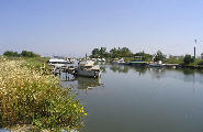
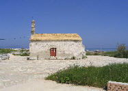
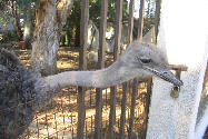
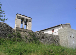
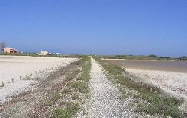
From the bridge you walk along the road beside the river (the river is on your right hand side) and head towards Bouka beach . Before you reach the beach you turn left opposite a small harbour and continue along the track passing a small holding on your right. On the left hand side you pass a house with Ostriches in the garden. After a while you continue across the salt pans to a small church where you turn left to a small village before making your way back to Lefkimmi via tracks through olive groves and quiet roads.
Komianata -
Please refer to the Sunflower Landscapes Corfu walk book by Noel Rochford.
We parked at the side of the road in Komianata for the start of this walk.
There are magnificent views along this route and the church of Moni Pantokrator is well worth walking to.
Aghios Matheos Mountain Map
We followed this walk out of the book, The Second Book Of Corfu Walks, by Hilary Paipetti. There is also a similar walk that starts on the outskirts of Aghios Matheos going the opposite way round. This is out of the book by Noel Rochford Sunflower Landscapes Corfu.
We did this walk during the middle of May and there was an abundance of butterflies around the site of the monastery and we even managed to photograph a few of them before they flew away.
Allow two hrs. 30 min's about.
The walk starts in the centre of the village of Aghios Matheos. Park in the marked car park which is down a steep rough slope on the side of the main village road.
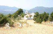
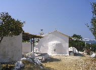
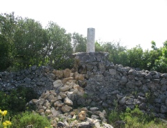
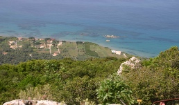
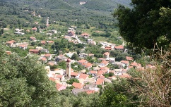
From the car park turn right along the main village road and after about 100 meters turn left up beside a snack bar marked with three stars. Follow the narrow village alleyways around and uphill to reach eventually an unmade road (this is where the walk is rejoined near the end) where you turn right. Almost immediately leave this road at the first bend and take a footpath off to the right up through the forest to reach eventually the Monastery. It took us about one hour to reach the Monastery and another 30 minutes to reach the Summit allowing time to take photos and picnic. From the Summit there are splendid views of Lake Korission. We recorded a height of 1513 feet above sea level.
Retrace your steps back down to the Monastery and then descend down the wide access track to your right with views over Aghios Matheos to rejoin the walk nears the beginning and alleyways back down to the village.
| Area |
| Places of interest |
| Restaurants and Tavernas |
| Flora |
| Fungi of Corfu |
| Fauna |
| Sealife of Corfu |
| Wildflowers of Corfu 1 |
| wildflowers of Corfu 2 |
| Orchids and Broomrapes |
| Insects and spiders of Corfu |
| Butterflies and moths of Corfu |
| Birds and Mammals of Corfu |
| Reptiles of Corfu |
| Fishes |
| Invertebrates |